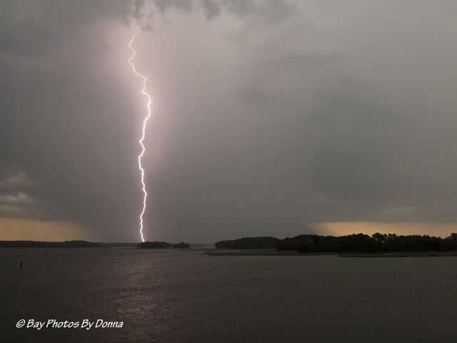
Thunderstorm Crossing Over Kent Island, Prospect Bay & Wye River, Maryland – July 18, 2012
My fascination with photography doesn’t end with birds. This post is off the beaten path of birds but is a share of another part of nature that enthralls me. Storms. They come roaring across the Chesapeake Bay and barrel down on the Eastern Shore. A few weeks ago we were hit hard with cell after cell around midnight that caused many people in Ohio, Maryland, Virginia, and Delaware with power outages and severe damage. With the extreme heat, many suffered for a week or longer as they waited to have their power restored.
We were lucky with no outage, but it was frightening. Being in a 12-unit condominium building and on the highest floor, we could feel our building sway in the 60-70 mph winds that slammed us. It came on so sudden as we were sleeping, we could do nothing but ride it out as everyone else did.
The extreme heat has continued to stir up more thunderstorms since. As I write this around 9:15pm, a wicked cell is passing over us now. Lightning is frequent and striking very close by. The waterview brightens up quickly and eerily before disappearing back into the darkness.
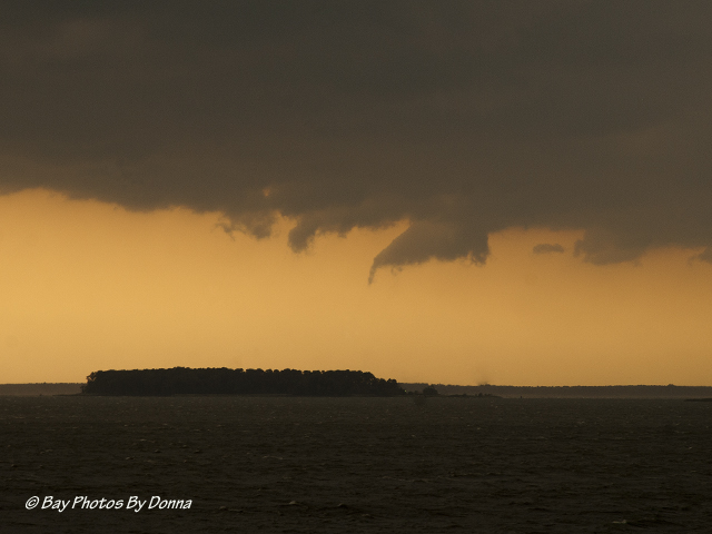
And yesterday around 6:00pm, we had another severe thunderstorm quickly come and quickly go. Since it was still light out, I stood on my balcony and watched it build as it crossed from the Chesapeake Bay, and over Kent Island, Prospect Bay, and Wye River. I decided to take some photos to see what I might capture.
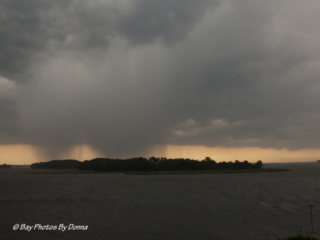
Along the edge of the storm, down-drafts were shooting off frequently, you can see some in the above photo. The Weather Channel had just recently talked about these occurrences but I cannot remember the technical name for them. I just worried that one would form a waterspout. Here’s another shot of one of those downdrafts that went down and then retreated back up as it passed over Parsons Island.
The winds picked up to about 40 mph as the center of the storm rolled pass in front of me. I noticed the cell began to grow, then suddenly it released a heavy downpour of much-needed rain.
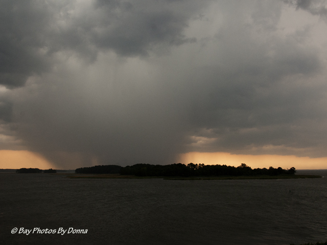
It swelled bigger and bigger…..
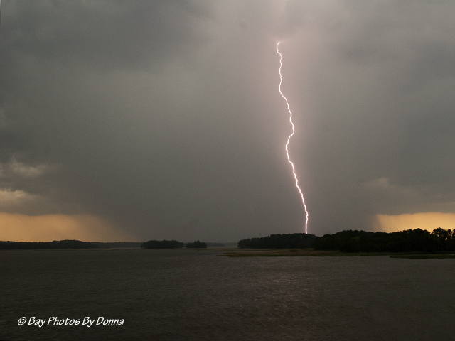
And then cloud to ground lightning started and continued with frequent strikes. I’ve only gotten lightning two other times after many hours of watching and trying. I hadn’t had time until this evening to check to see whether I even got one of the strikes last night. WOW!! This time I lucked out with four captures from one thunderstorm cell in three minutes! Missed many times more, LOL. Here they are….
As the downpour began blowing onto my balcony, I quickly retreated inside as I heard the fire sirens going off in Grasonville. I hope all turned out well for those in Prospect Bay and along the Wye River, who took the brunt of this nasty thunderstorm cell.
What a challenge to capture lightning! Of course, it’s important to be safe. I took these shots with my new Nikon AF-S Nikkor 24-120mm f/4 ED VR that finally came in last week after being on backorder for two months. My other wide angle lens is a much slower Nikon 18-55mm lens. So I’m guessing the speed of my new lens is how I was able to capture the lightning so many times yesterday! COOL! I love my new lens!! 🙂
Has any one else had any luck in capturing lightning?
As always, thanks for stopping by and your wonderful comments, I appreciate it!


